
Mullingar to Whitegates, Athlone – 42km
Project Stage: Open ‘Old Rail Trail’ (connecting Royal Canal Greenway to Longford and Maynooth)
Parking
Trail Head Parking is available at the following locations:
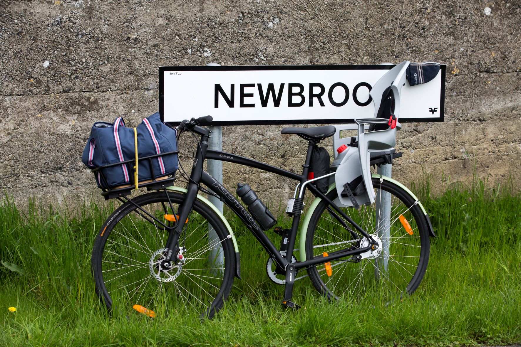
- Newbrook, Mullingar
- Ballinea, Mullingar
- Castletown Geoghegan
- Streamstown
- Moate
- Tully, Athlone
- Garrycastle, Athlone
- Athlone Regional Sports Centre
Further Information
Information on the Old Rail Trail
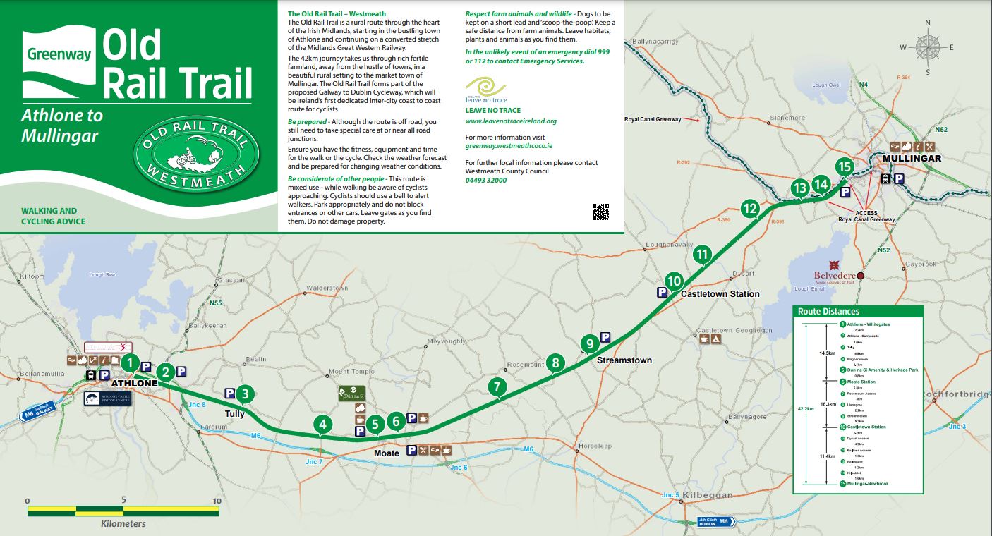
Link to Map
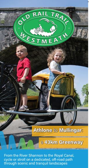
Link to brochure here
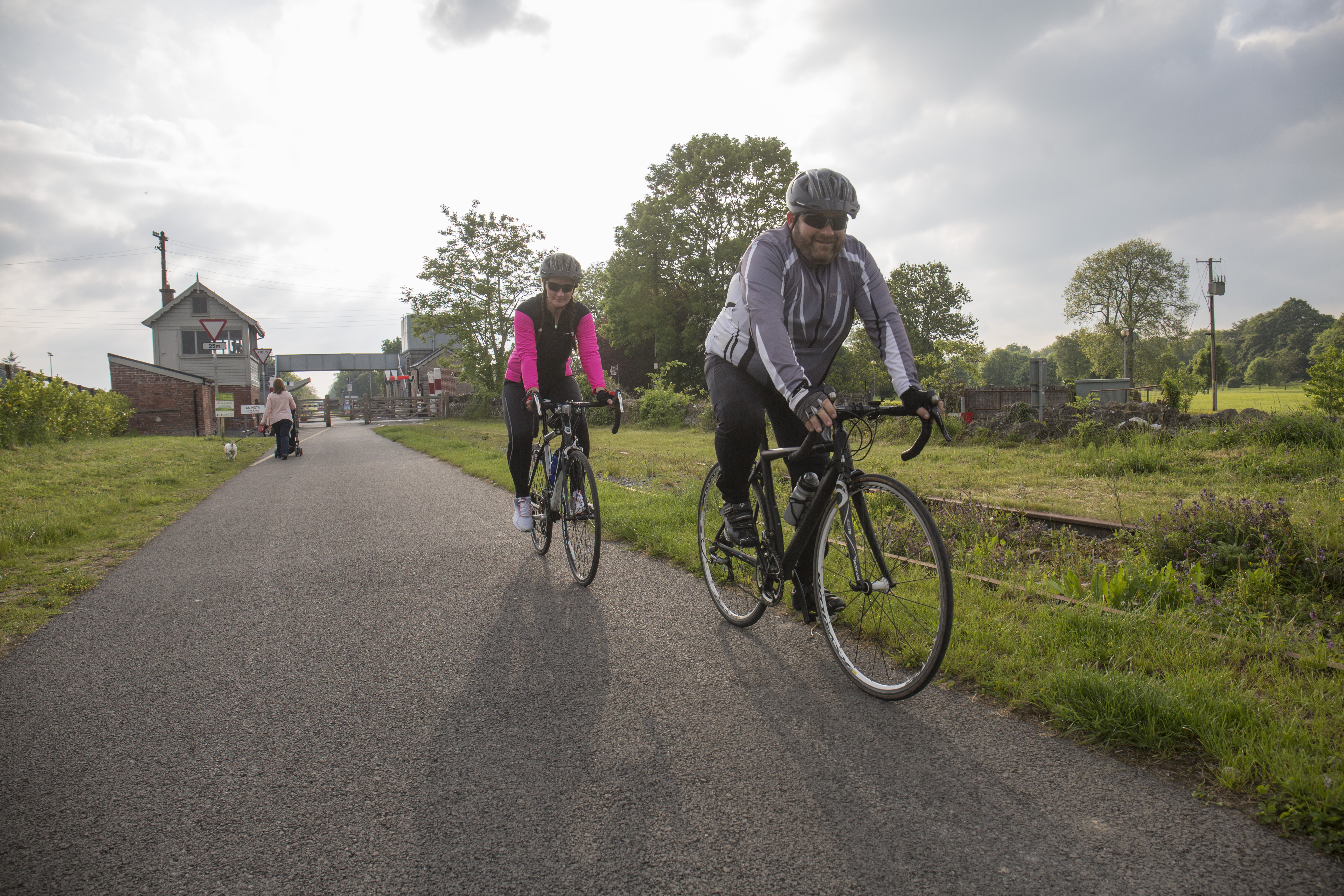
The Mullingar to Whitegates (Athlone) section of the Galway to Dublin Cycleway is located on a disused railway line which ceased passenger services between Mullingar and Athlone in the early 1980s. The cycleway reopens this direct link between two towns by providing a 3m wide 42km long cycleway.
The Old Rail Trail begins in Newbrook in Mullingar linking with the existing cycleway adjacent to the Royal Canal. From Newbrook, Mullingar people using the Greenway have three options:
- Travel southwest on the Old Rail Trail towards Athlone 42km)
- Go east on the Royal Canal Greenway towards Maynooth (62km)
- Go northwest along the Royal Canal Greenway towards Longford (55km)
The Old Rail Trail provides a safe environment for cyclists and pedestrians by providing a 3m wide bituminous surfaced route which is segregated from vehicular traffic for the entirety of its length.
Click here to download the map for the Old Rail Trail in Westmeath.